Falls Creek Trail

  • Mailing Address
  • 415 South Front
  • Townsend, MT 59644
  • Contact Information
  • Phone: 406-266-3425
  • Fax: 406-266-5484

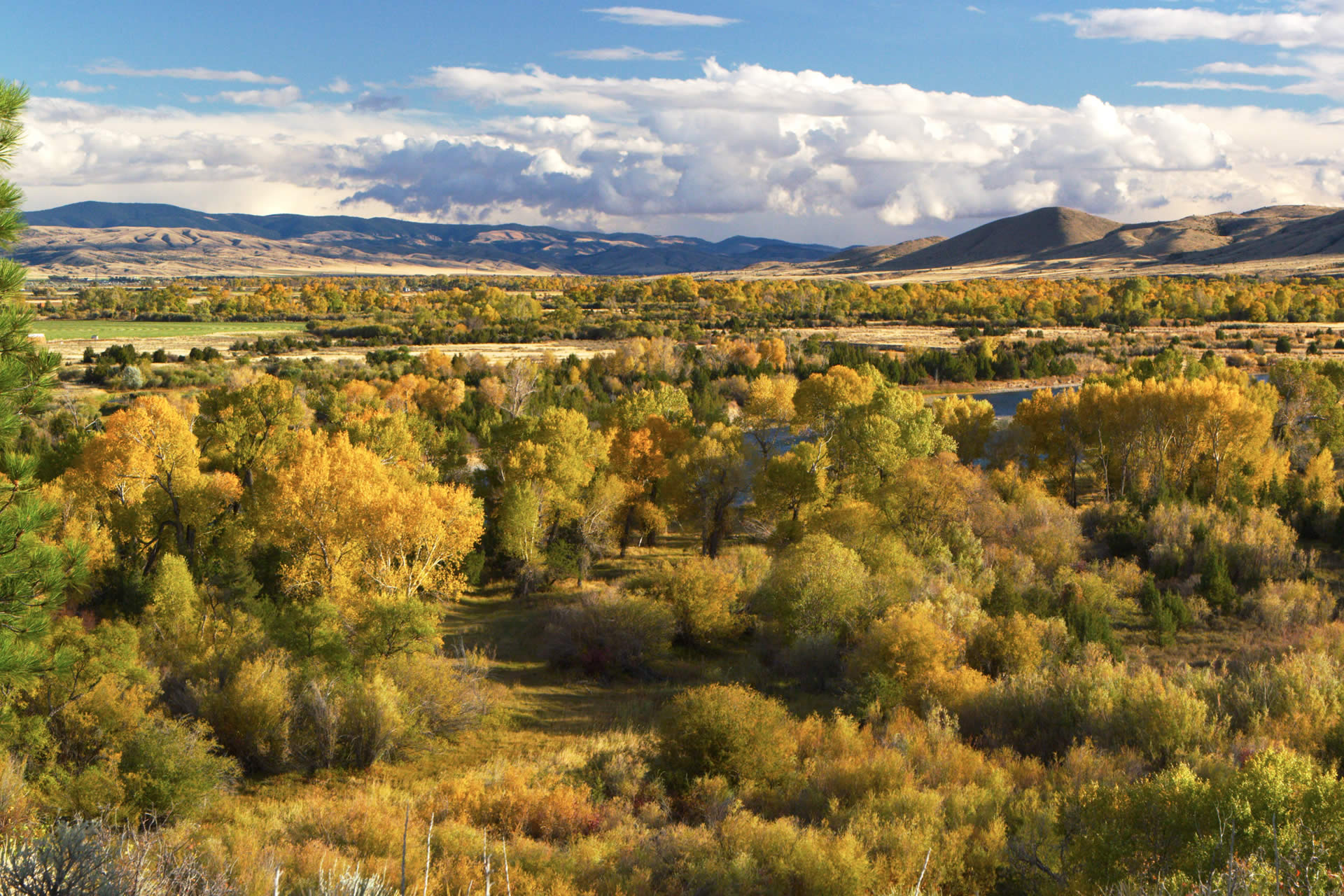
Falls Creek Trail accesses lower Longfellow Park and connects with Trail 109 near Crow Creek Falls. The falls are on private property. The trail is mainly used for hunting. This is an easy hike with medium use. Spring, summer and fall are the recommended seasons.Length: 2.4 milesTrail Begins: Trail Junction 112Trail Ends: Trail Junction 109, Near Church SpringArea Map: Helena Forest Visitor Map USGS Map1: Clancy SETownship 7N; Range 1W; Section 29

Area Activities

  • Bird Watching
  • Hiking
  • Nature Area
  • Picnicking
  • Sightseeing
  • Walking
  • Wildlife Viewing

Services And Amenities

  • Trail

Driving Directions

Take Highway 12 north from Townsend for 2 miles to the Indian Creek Road 360 and follow this road for approximately 7 miles to the junction with the Weston Creek Road 4031. Follow this road for approximately 4 miles to the junction with the Weasel Creek Road 405. Turn north on this road and follow to the Eagle Creek Station. The trailhead is just west of the station. Follow Trail 112 for approximately 1 mile to the trailhead.

For FREE Southwest Montana travel information call 1-800-879-1159 or request online.
1105 Main Street, Deer Lodge, MT 59722

For information on linking to the Southwest Montana website, click here.

View Mobile Site