Nary Time Trail
Townsend, MT
Phone: 406-266-3425
Additional Information:
- Bird Watching
- Hiking
- Nature Area
- Picnicking
- Sightseeing
- Walking
- Wildlife Viewing
- Trail
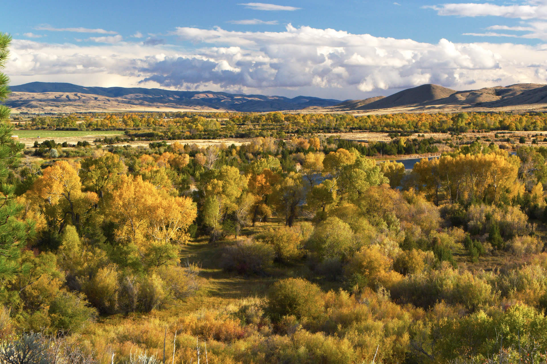
Nary Time Trail is mainly used for hunting accessibly. It provides opportunities for day hikes or short overnight trips. Accessible all year.Length: 2.6 miles. Light use, moderate difficulty.Trail Begins: Forest Road 359Trail Ends: Forest Road, Section 3, T 11N, R 2EArea Map: Helena Forest Visitor Map USGS Map1: Whites CityTownship 11N; Range 2E; Section 9
In the area
Places to Stay
See and Do
Events