Grouse Lakes Trail 219

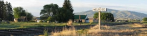
Wise River, MT
Phone: 406-832-3178
Length: 4 miles
Use: Light
Difficulty: High
Trail Begins: Road 186
Trail Ends: Grouse Lakes
The access road to the start of the Grouse Lakes Trail is not obvious as it appears as a two track road. A sign points the way but it occasionally gets vandalized. Trail is maintained yearly.
The trail starts to climb steeply for the first .5 mile. Many wildflowers such as Sego lily, shooting star, lupine, and others grow on this drier hillside early in the season. Near the top of the slope panoramic views of Pattengail Creek and the Wise River Valley below can be seen. After the first .5 mile the trail levels out somewhat and heads back towards Grouse Creek, then follows the stream closely for the next three miles. The vegetation is lush near the creek and spruce becomes common. The trail climbs sharply again about 3.25 miles in and switch-backs slightly and is rocky. About 0.5 miles later it levels out as it comes in Lower Grouse Lake, a granite basin lake. Here the forest is largely made up of whitebark pine and sub-alpine fir.
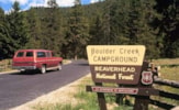
Area Map: Beaverhead-Deerlodge National Forest Visitors Map
USGS Map1: Stine Mountain
Township 2S; Range 12W; Section 10