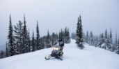
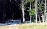
Bitterroot Rock Creek Divide Trail #313.3

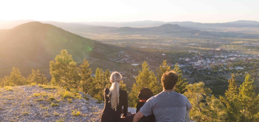
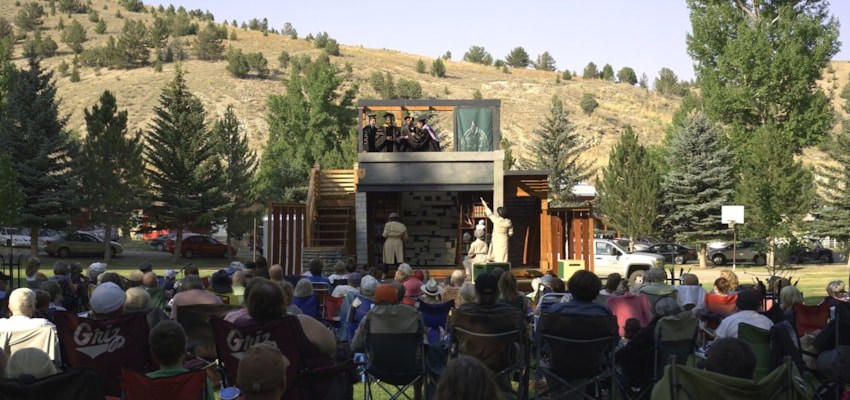
Philipsburg, MT
Phone: 406-859-3211
Length: 4.0 milesTrail Begins: Trail 10Trail Ends: Dome Shaped MountainArea Map: Deerlodge National Forest Visitors Map USGS Map1: Stony CreekUSGS Map2: Burnt Fork LakeTownship 6N; Range 17W; Section 17
In the area
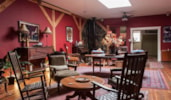
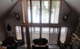
Places to Stay
See and Do
Events