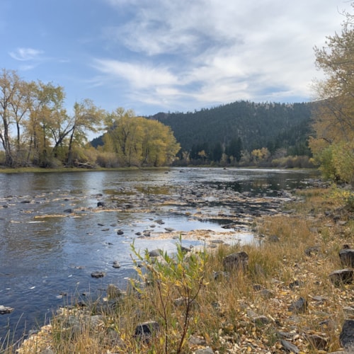
Pattengail Creek Trail
Listing Overview:
Length: 14.0 miles
Trail Begins: Road 186
Trail Ends: Pioneer Loop National Recreation Trail 759
First 6 miles is a rough jeep road following the north side of Pattengail Creek. Rest of trail passes through lodgepole pine forest with a few meadows. Grades are gentle to moderate and tread is rocky in many area. Isolated trail with low use, open to motorcycles.
Area Map: Beaverhead-Deerlodge National Forest Visitors Map
USGS Map1: Stine Mountain
USGS Map2: Shaw Mountain
Township 2S; Range 12W; Section 10
Amenities:
Trail
Listing Details:
Wise River, MT
In the Area:
Get Out and Explore.
Weather Forecast for Silver Bow County MT:
Currently:
27°
SunnyThu
44°F / 22°F
0%
Fri
54°F / 24°F
0%
Sat
60°F / 33°F
0%
Sun
57°F / 36°F
0%
More from Our Blog
Dig Deeper