Lost Horse Trail
Listing Overview:
Length: 7.0 miles
Trail Begins: Pattengail Trail 245 west of Cow Creek
Trail Ends: Pioneer Loop NRT 250
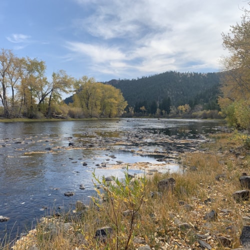
The first 2 miles north of Lost Horse Trail 245 is steep and rocky. Trail levels out through Lost Horse Meadow to Bible Camp Park then climbs steady to Trail 750. Half of trail is in timber other half in open meadows. Some sections are boggy. Open to motorcycles and ATVs.
Area Map: Beaverhead-Deerlodge National Forest Visitors Map
USGS Map1: Shaw Mountain
Township 2S; Range 13W; Section 11
Amenities:
Trail
Listing Details:
Wise River, MT
In the Area:
Get Out and Explore.
Weather Forecast for Silver Bow County MT:
Currently:
71°
Partly CloudyWed
72°F / 46°F
13%
Thu
82°F / 49°F
67%
Fri
86°F / 52°F
62%
Sat
84°F / 54°F
74%
More from Our Blog
Dig Deeper