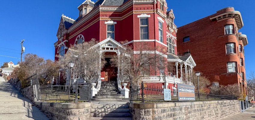
Hiking Helena
Perhaps the best advice you will ever receive: When hiking, be sure to bring along a 17 year-old high school soccer player. This way, if you and your party choose not to bring water and then a mile into your hike realize how bad a decision that was, you can send said soccer player running down the mountain to bring back some water bottles. Alternately, you could just remember your water bottle from the beginning.
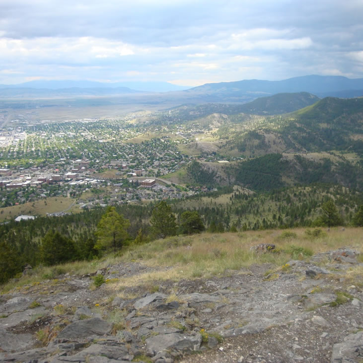
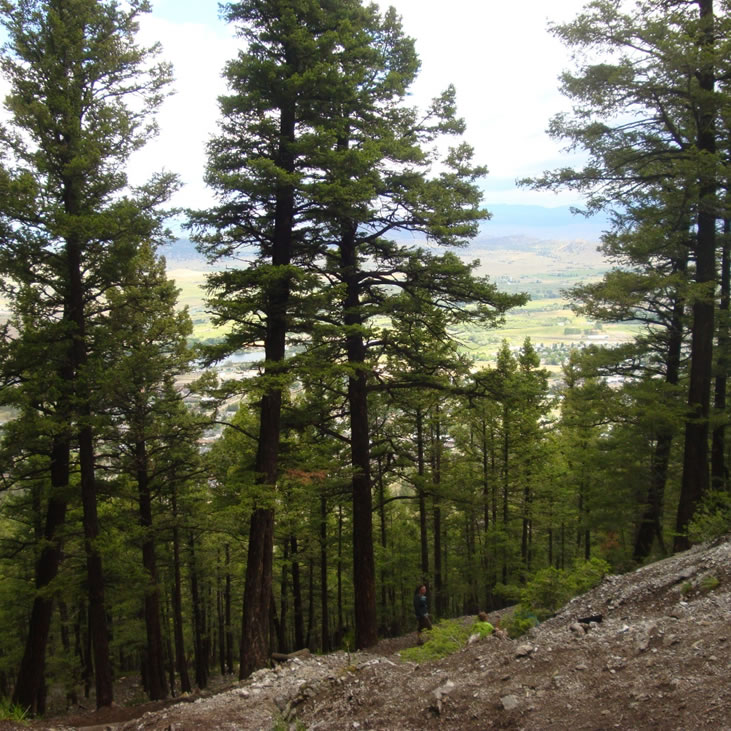
Mount Helena City Park covers 620 acres on the edge of Helena. Trails crisscross the entire park. Some summit the mountain. Others connect with trails in the surrounding Helena National Forest. We took the “1906” trail. It makes sort of a spiral around Mount Helena, which makes it longer, but keeps it from being too steep. Don’t be fooled by the “Powerline” trail. Even though it’s really short, it goes straight up the face, and is absurdly steep. “1906,” on the other hand, wends its way through open hillside and pine forest, and gives some really spectacular views of the city in the process. On the way down, I think we took “Hogback” and “Prospects Shafts.” Neither had as much variety as 1906, but it was nice to make a loop instead of backtracking. The trails we took weren’t terribly hard. They were just hard enough that at the end you knew you had been exercising. And the view from the top is absolutely worth it. We went in the middle of the morning on a humid overcast day, but it would make a beautiful early morning or close-to-sunset hike.