


West Goat Peak
Highest in the Anaconda Range
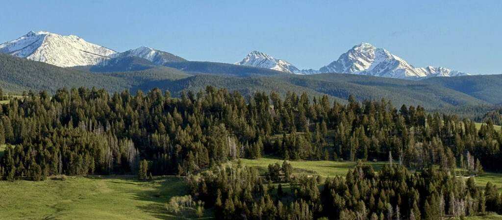
West Goat Peak, the highest summit in the Anaconda Range and Anaconda-Pintler Wilderness of southwest Montana, reaches an elevation of 10,793 feet. Best accessed from the southern face of the range, the closest towns to the trailhead are Wise River and Wisdom.
The Anaconda Range is a complex of ancient sedimentary rocks that were metamorphosed over hundreds of years by heat and pressure from plate tectonics into their own distinct layers. This layer is called the Anaconda Metamorphic Core Complex. During the last ice age, glaciers dominated the peaks of the mountains, leaving behind large amounts of small gravel and numerous glacial lakes at their base.
You pass one of these small glacial lakes, Lost Lakes Basin, on your way to the top. The trailhead to West Goat Peak is not labelled, but it is a semi-maintained trail. To reach it, you take Calvert Creek Road, which turns into Fishtraps and Mudd Creeks. Follow this road until it intersects with FS road #1279 and take a right turn. Continue for four miles, and then the trailhead will be on the left. Not many folks take on West Goat, so solitude is almost guaranteed!
There are no signs, at least now, but a break in the trees reveals the trailhead. It is a challenging trail that turns into a bog and disappears, crosses over streams, and is a round-trip of eight to ten hours. The elevation gain is considerable – 4,393 feet.
Cairn Cartographics produced an excellent map of the Anaconda-Pintler Wilderness that clearly shows the passage to West Goat Peak. The Wisdom or Wise River ranger stations can provide maps and information.


