Blacktail Range
Southwest Montana’s Blacktail Range

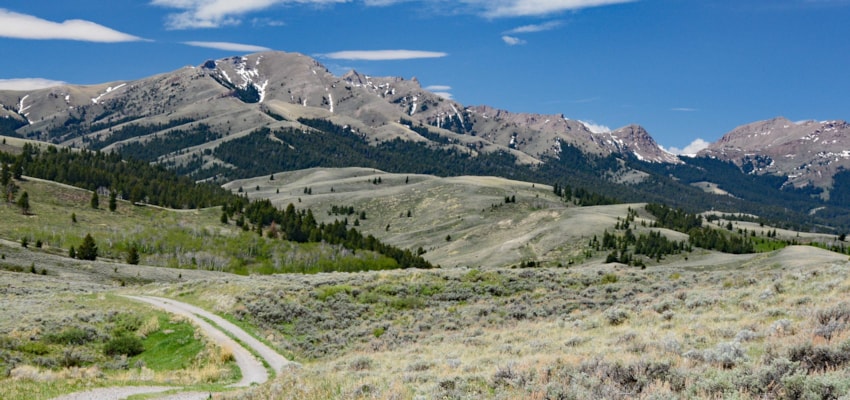
On Dillon, Montana’s southeast viewshed, above the Blacktail Deer Creek drainage, the 30-mile-long singular appearing ridgeline of the Blacktail Range dominates the horizon. The distant view isn’t what is evident though, as one follows their southeast-northwest orientation along the Blacktail Deer Creek Road. Sharp peaks are absent. Smooth ridges and hilltops, etched out mostly by water erosion, creating narrow canyons show that these mountains have their character.
Their name, Blacktail, is a common nickname for mule deer. And locals claim this uplift as “their” mountains.
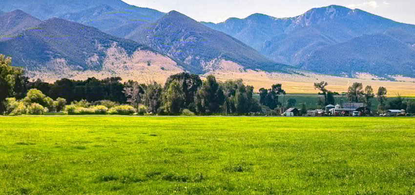
On their southeast flank, the Blacktail blend in a mixture of the Snowcrest Range and foothills of the Centennial Valley. On all of its other aspects, the range’s rise makes its presence well defined. Habitat diversity throughout the Blacktails includes sagebrush, grasslands, Douglas-fir, lodgepole pine, spruce, whitebark pine, and lush riparian areas and sustains an abundance of wildlife species including pronghorn, mule deer, elk, sage grouse, black bears, and mountain lions. Hiking, camping, and hunting are popular, as is fishing for rainbow, brown, and brook trout in Blacktail Deer Creek, a tributary to the Beaverhead River.
Outside of hunting season, it’s easy to find solitude on the numerous trails throughout the area, particularly in the Blacktail Mountains Wilderness Study Area—nearly 17,500 acres of wildlands managed to protect its wild and scenic values.

At 9,173-feet, Ashbough Mountain is the tallest peak in the Blacktails. From its summit, it is possible to spot the Tetons to the southern horizon. Other high points include Retort Mountain, 7,122-feet, as well as Gallagher Butte, 8,224-feet, and Gallagher Mountain 8,477-feet in elevation. Jim Brown Mountain also stands prominently on the skyline at 7,125-feet. All offer expansive views of the diverse terrain below.
An excellent entry point from the south west side of the Blacktail is Sage Creek road. It winds its way through numerous hills before branching off into several two-track options that make their way up to long bare ridges, offering plenty of opportunities to climb to the heights. And the Blacktail Creek Road also leads to other passages into these unique mountains. A Beaverhead-Deerlodge National Forest Map helps to navigate the many possibilities.
Greg Iverson is a Lima, Montana High School English teacher and David Stalling, a UM graduate student in the creative writing program.