History Runs Deep at the Tony Schoonen Fishing Access Site near Twin Bridges, Montana
Southwest Montana is known for its sweeping landscapes, Blue Ribbon trout streams, and a mother lode of history. But every now and then, those three things converge all at once, and that’s exactly what happens at the place we’re talking about today.
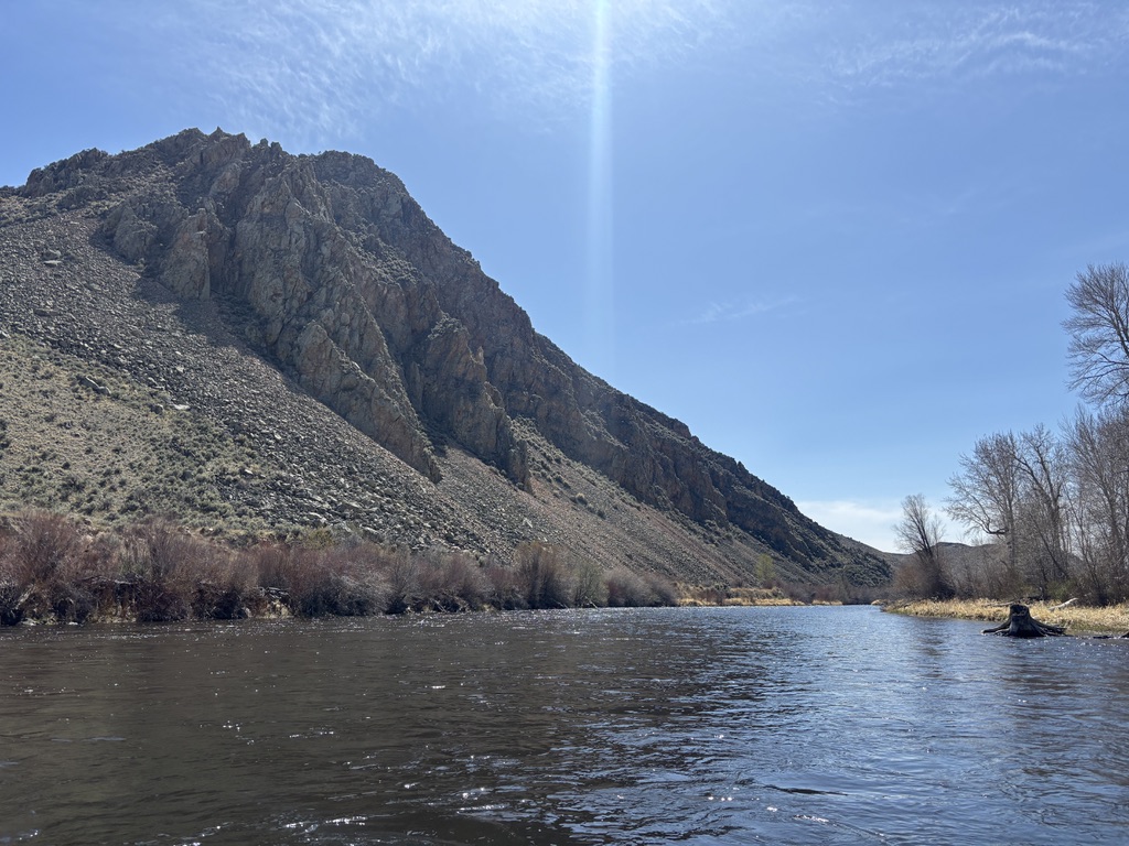
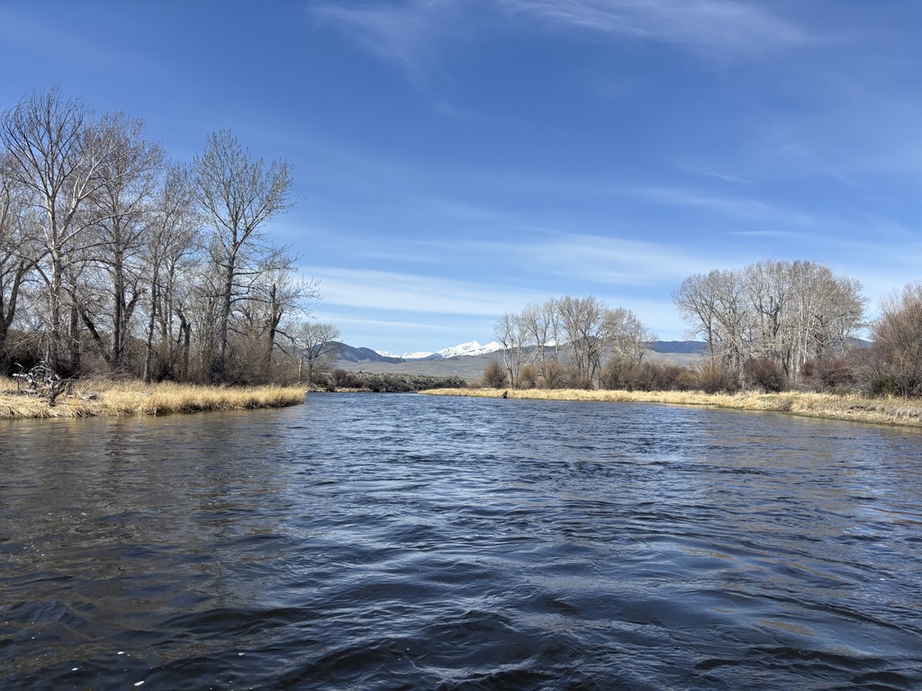
Tucked deep into cottonwood and willow groves along the Big Hole River near Twin Bridges, Montana, the Tony Schoonen Fishing Access Site, formerly known as Notch Bottom (or The Notch to locals) is a hidden gem. And if you’re not an avid angler, you may have never heard of it before. But the story here runs deeper than the water. So if you were hoping we’d give away all of our favorite fishing holes, we’re sorry, but not today! We’ll let the anglers keep their secrets. There’s plenty more to talk about, because beyond the Blue Ribbon water, this specific site on the Big Hole uncovers a story of ancient geology, Lewis and Clark history, and a remarkable legacy of conservation that kept this river wild in the first place.
Why is it Called The Notch?
300 million years ago, parts of Montana were covered in coastal sand dunes. Not exactly what you picture when you think Big Sky Country, right? Quartz-rich sand grains deposited here by the wind formed sand dunes, which were eventually buried and compressed into the hard sandstone and quartzite formation geologists call the Quadrant Formation. About 75 million years ago, a collision between the North American and Pacific tectonic plates pushed that formation upward and eastward, forming the dramatic ridge you see today, known as a Hogback Ridge.
Then, the river got to work. Over millions of years, it carved relentlessly through the hard rock, cutting a narrow canyon as the formation was lifted, forming the notch at Notch Bottom. That’s where the name comes from. The river made the notch, the notch named the place, and as it turns out, this particular bend in the Big Hole caught the attention of some very notable travelers back in 1805.
Where Lewis and Clark Once Stood
Before this place appeared on any modern map, it appeared in Meriwether Lewis’s journal, and there’s even an interpretive sign about it right at the fishing access site. On August 5, 1805, Lewis climbed the Hogback Ridge and recorded a sweeping view of the valley below and the braided river forks stretching out before him.
“I took the advantage of a high projecting spur of the mountain which with some difficulty we ascended to it’s summit in about half an hour. from this eminance I had a pleasing view of the valley through which I had passed many miles below and the continuation of the middle fork through the valley equally wide above me to the distance of about 20 miles…”
– Meriwether Lewis, Aug. 5, 1805
The Corps of Discovery was at a crossroads, literally. They needed to determine which tributary would lead them toward the headwaters of the Missouri, and the answer was not so obvious. Clark had explored the Big Hole River and found it too narrow and willow-choked to be the main route west. Lewis thought the Beaverhead River would guide them, and climbing the Hogback Ridge confirmed his instinct. The view revealed the Beaverhead River as their route towards the Headwaters of the Missouri. But it was Sacajawea who truly settled the question. She recognized the Beaverhead as the summer hunting grounds of her people, and she knew that this river would lead to the Headwaters of the Missouri and to the land of the Shoshone. Lewis noted the confirmation in his journal and the expedition pressed on up the Beaverhead, leaving this stretch of the Big Hole River to flow on quietly, just as it does today.
Who Was Tony Schoonen?
The renaming of this site from Notch Bottom to the Tony Schoonen Fishing Access Site in 2020 was about far more than a sign change. It was a tribute to a man who spent decades making sure people could still reach places like this.
Tony Schoonen was a teacher, public lands advocate, and a tireless champion for Montana’s rivers and the people who depended on them. In the mid 1960s, Tony led the effort to stop a proposed dam at Notch Bottom, a project that would have dramatically altered this section of the Big Hole forever. The dam was never built, and the river kept flowing.
He also formed the Montana Stream Access Coalition, whose work led to a landmark 1984 Montana Supreme Court decision protecting public stream access statewide. The Montana Supreme Court later strengthened the ruling in another case brought by the coalition, establishing that any navigable stream can be used up to the high-water mark, regardless of who owns the surrounding land.
Today, the Tony Schoonen Fishing Access Site stands as a quiet reminder that the wild places we love don’t protect themselves. Tony Schoonen knew that better than anyone, and this stretch of the Big Hole is proof.
Getting on the Water
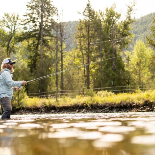
The Big Hole River is home to wild populations of brown trout, rainbow trout, brook trout, and the rare fluvial Arctic grayling, one of the last native populations of its kind in the lower 48 states. So we’ll be honest, writing this made us want to grab our waders, too. We’re still not going to drop the coordinates to our favorite spots along the Big Hole, but we never said we wouldn’t point you toward the people who know where they are.
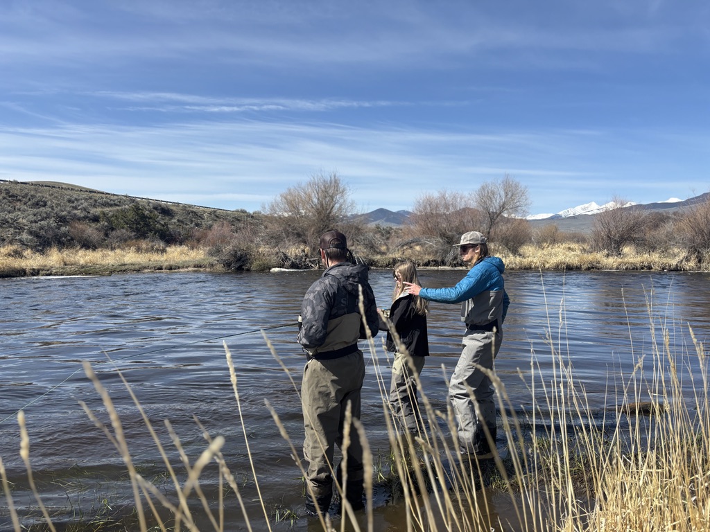
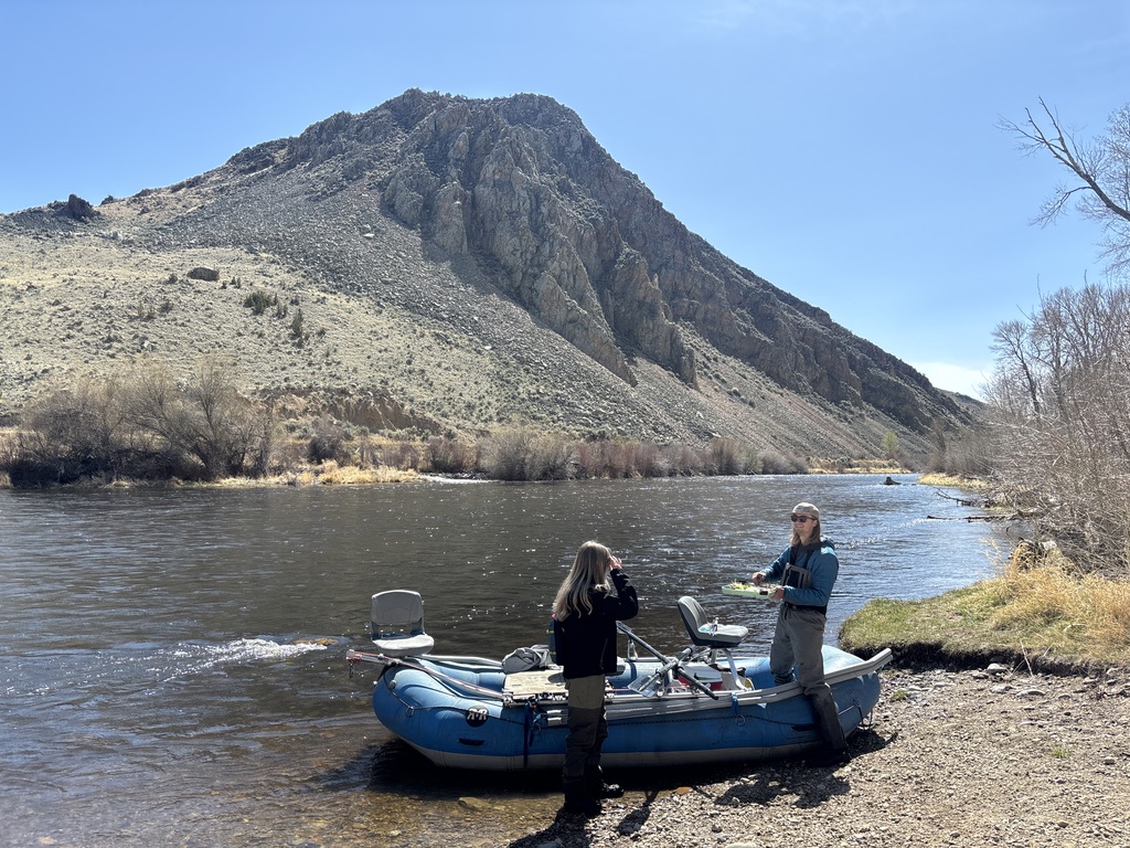
We always recommend stopping by a local fly shop before hitting the water. In Twin Bridges, Montana, Four Rivers Fishing Co. and the Stonefly Inn & Fly Shop are great places to start. The folks inside are avid anglers who have the latest intel on which flies to throw and which sections are fishing well, and they’re always happy to help.
Both shops are fully stocked with flies and gear, and if you need a fishing license before you hit the water, you can purchase one online in advance on the Fish Wildlife and Parks website. If you’re new to the Big Hole or just want a local expert in the boat, both shops offer guided trips as well. And if you really want to make the most of your time on the water, the Stonefly Inn & Fly Shop offers lodging right in Twin Bridges, putting you within easy reach of some of the best trout water in Southwest Montana.
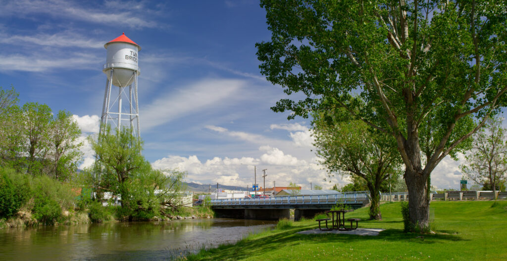
While you’re in Twin Bridges, it’s worth slowing down and taking it all in. The world-famous R.L. Winston Rod Company is based right there in town, and stopping in to browse their handmade fly rods is a must for any angler passing through. Beyond the fishing, the town punches well above its weight with great food, local character, and enough charm to make you want to stay an extra night.